Robots as a
Service.
Certified operators, professional aircraft, and processed intelligence delivered on your schedule. One flight or a full program. Zero capital outlay.
Three steps from request to delivery.
Book
Tell us the site and the objective. We schedule within days, not weeks.
Fly
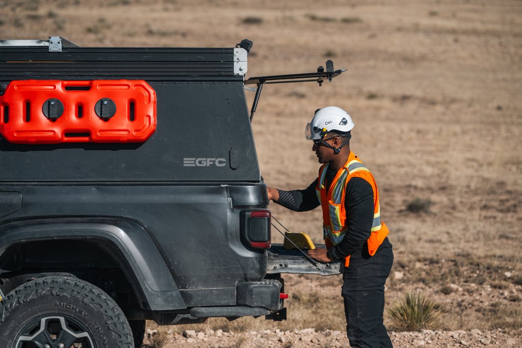
A Ctrl certified operator flies the mission on site, visual line of sight, fully insured and Transport Canada compliant.
Deliver
Processed maps, models, and reports arrive in Asset, our geospatial platform, within five business days.
Scale from one flight to a full program.
Single Flight
One mission, one fixed price, deliverables in five days.
- Single site visit
- Fixed scope
- 5-day turnaround
Subscription
Recurring missions on your cadence with change detection between every flight.
- Recurring cadence
- Change detection
- Priority scheduling
Embedded Technician
A dedicated Ctrl certified operator inside your organization, full time.
- Dedicated operator
- On-site presence
- Aircraft included
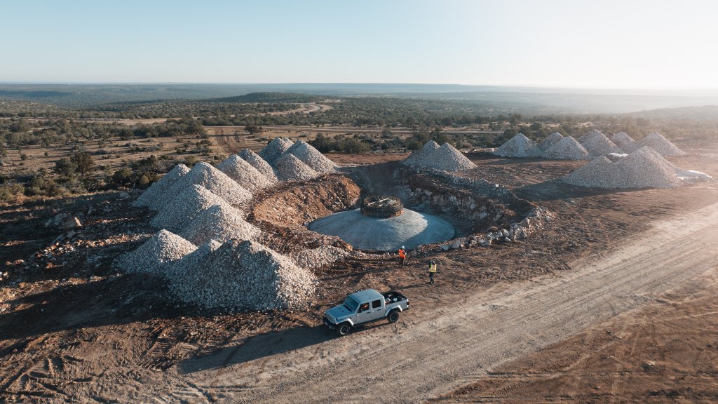
Every sensor. Every deliverable.
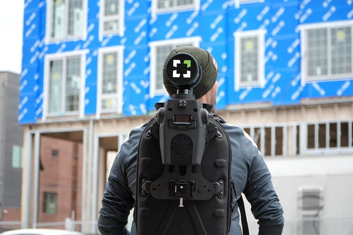
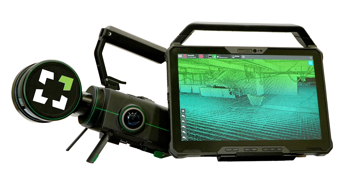
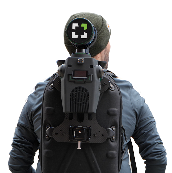
One scanner. Any platform.
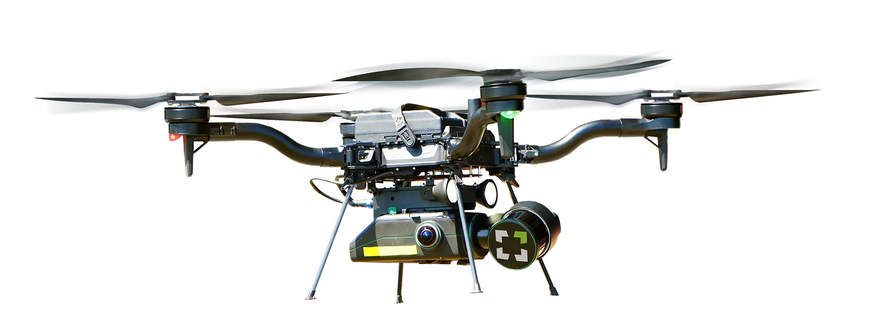
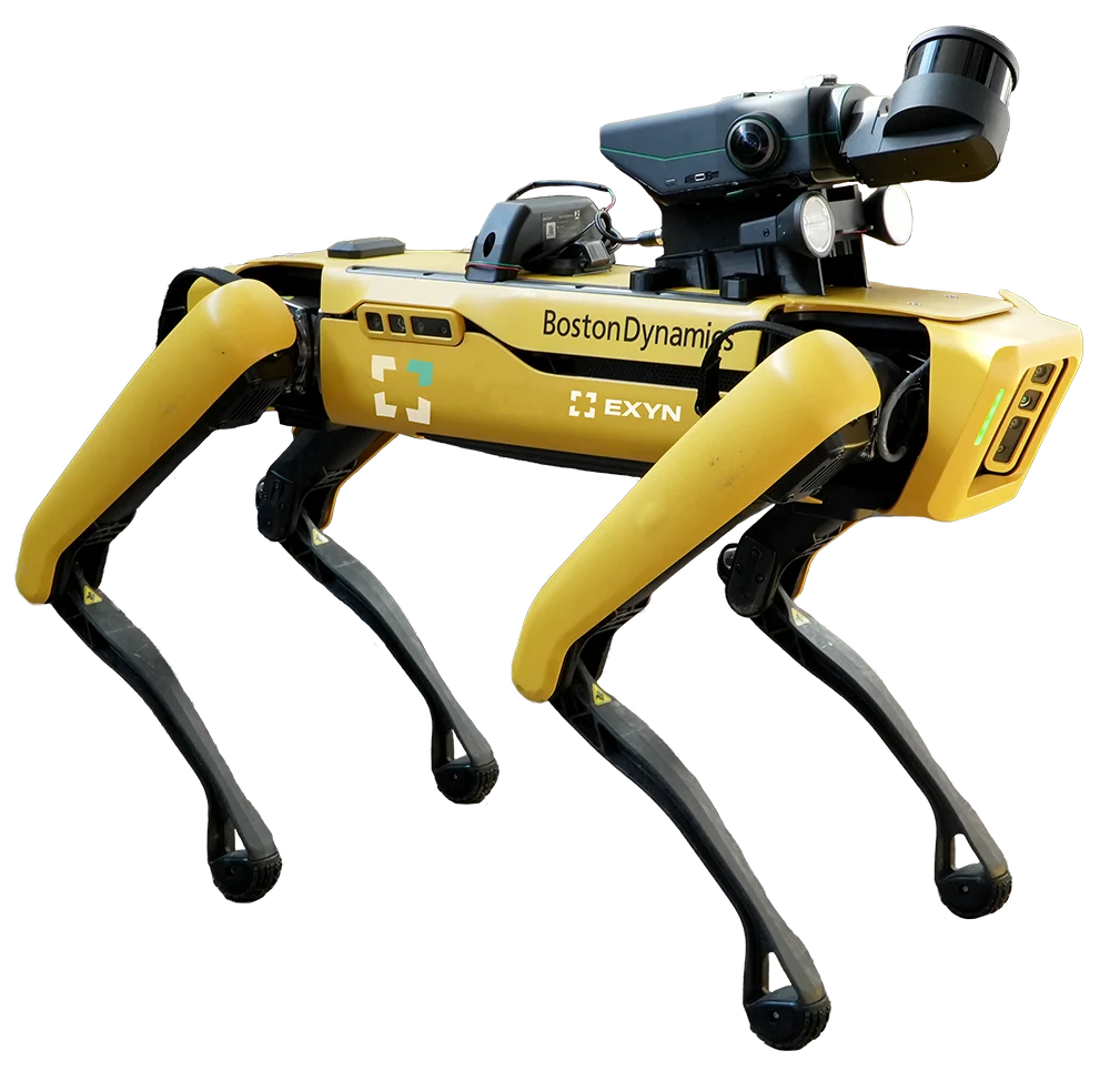
The Exyn Nexys modular LiDAR moves between drone, ground robot, and backpack — so the same survey-grade capture follows your mission, not the other way around.
The Ctrl Stack
One integrated system, four ways to deploy.
RaaS
Certified operators flying missions on your schedule.
AirBase
Autonomous dock infrastructure for continuous capture.
ProShop
Training and certification for teams building internal programs.
Asset
The geospatial platform where every deliverable lives.
Every engagement, from a single flight to a fully autonomous network, delivers into one platform.