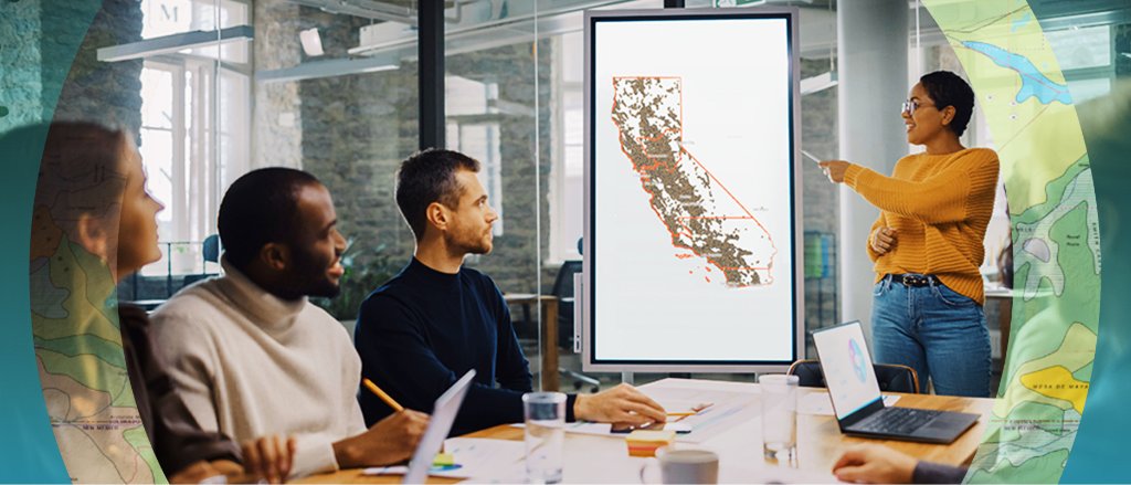
Advanced support for mission-critical geospatial intelligence programs. From data processing to field operations, we deploy the expertise your team needs to succeed.
Professional Services
Comprehensive support across the intelligence lifecycle
Data Processing
Transform raw aerial and terrestrial data into actionable intelligence. Our processing pipeline handles photogrammetry, LiDAR, multispectral, and thermal imagery with military-grade precision.
Core Capabilities
- Orthomosaic generation & georeferencing
- 3D reconstruction & point cloud processing
- Change detection & temporal analysis
- AI-powered feature extraction
- Custom workflow automation
- Sub-centimeter accuracy deliverables
Deliverables
- Georeferenced orthomosaics
- Digital elevation models (DEMs)
- Classified point clouds
- 3D textured meshes
- CAD-ready vector data
Discovery & Assessment
We analyze your operational requirements, existing capabilities, and strategic objectives to design the optimal solution.
Proposal & Scoping
Detailed statement of work with deliverables, timelines, and resource allocation. Fixed-price or time-and-materials options available.
Execution & Delivery
Dedicated team deploys with regular progress updates, quality checkpoints, and transparent communication throughout.
Support & Optimization
Post-delivery support, knowledge transfer, and continuous improvement recommendations to maximize long-term value.
Above & Below the Surface
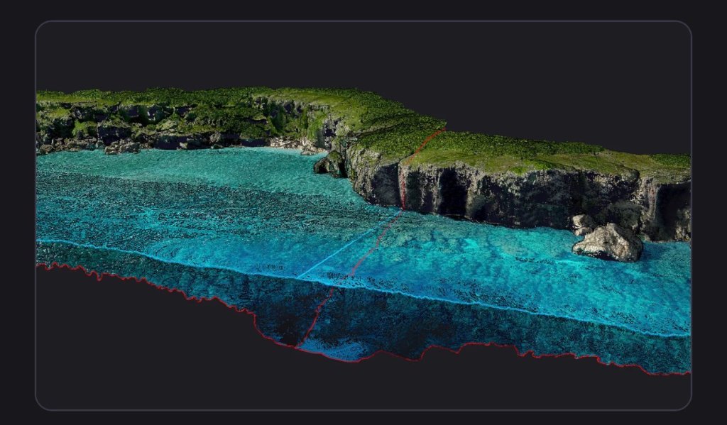
Our crews deliver fused bathymetry, GPR, and terrain surveys — from coastal seabeds to riverbeds — as a single deliverable.
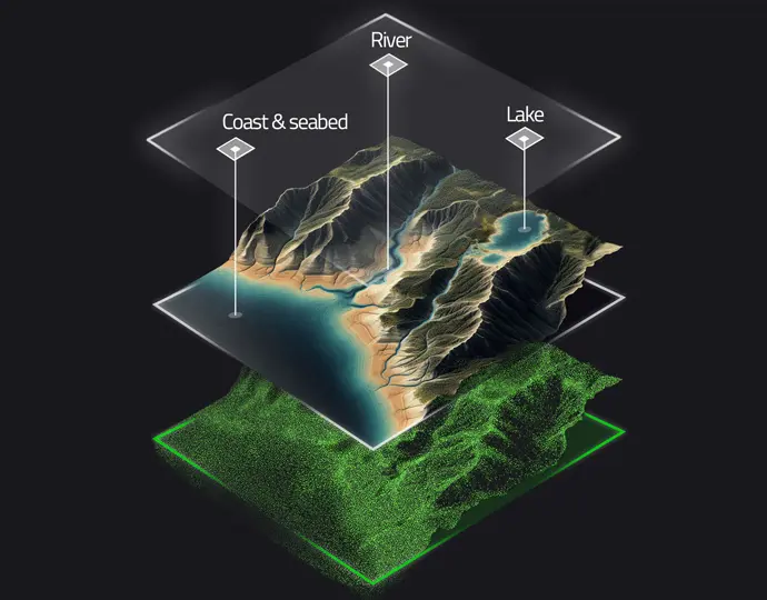
Layered fusion — coast & seabed, river, and lake surfaces stacked over terrain point cloud.
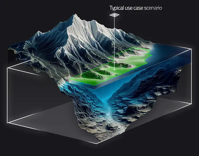
Typical use case — surface terrain and subsurface bathymetry captured within a single volumetric bound.
Trusted Across Critical Sectors
Supporting the industries that power and protect our world