Geospatial Intel for
government, defence and public safety.
Advanced intelligence platforms supporting AEC, GEOINT, and public safety teams with comprehensive data solutions.
Mission Support Matrix
Select operational category for details
01
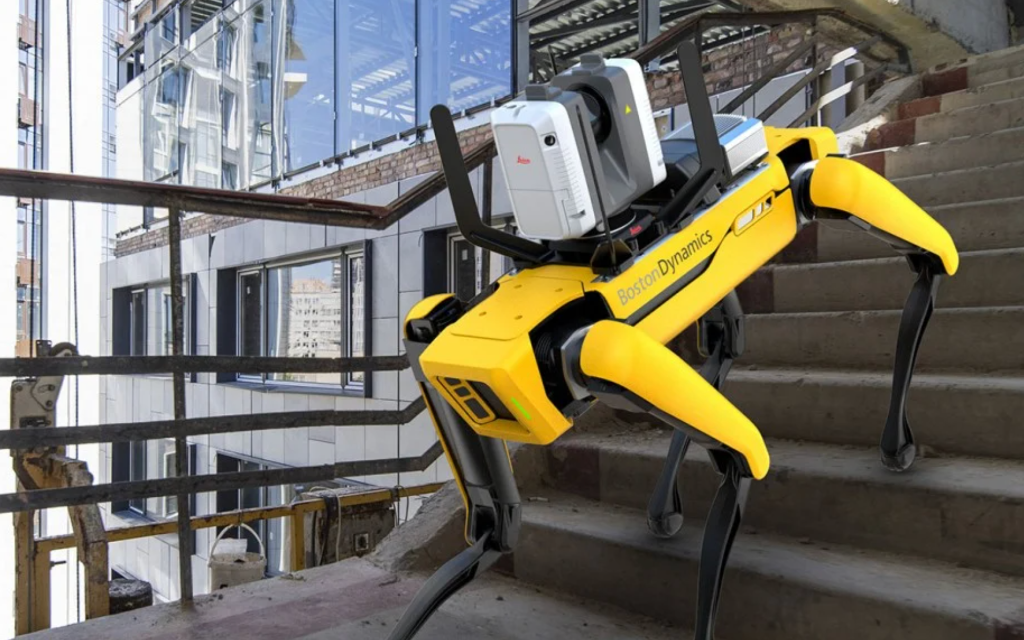
AEC & INFRASTRUCTURE
Hardened facility design and critical infrastructure oversight.
- Site Selection & Characterization
- Construction Supervision
- Detailed Design Support
- Security Efficiency Audits
- Environmental Permitting
02
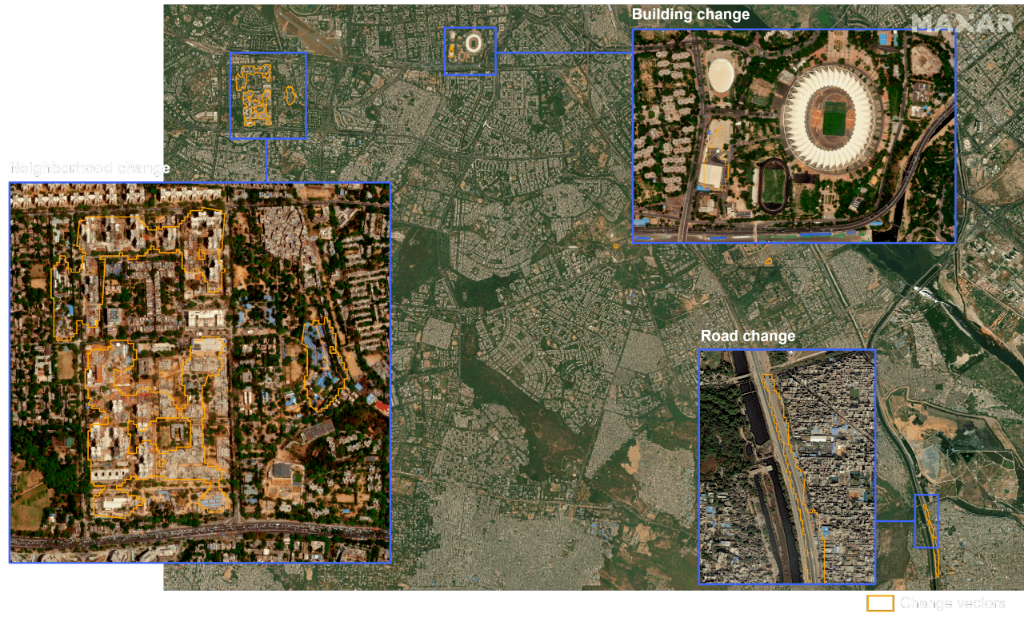
GEOINT OPERATIONS
Global intelligence gathering and multi-source data fusion.
- AI/ML Facility Characterization
- Object & Change Detection
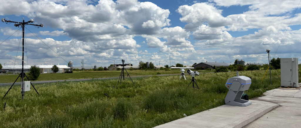
- Surveillance Network Oversight
- Government Facility Audits
- Multi-Source Data Fusion
03
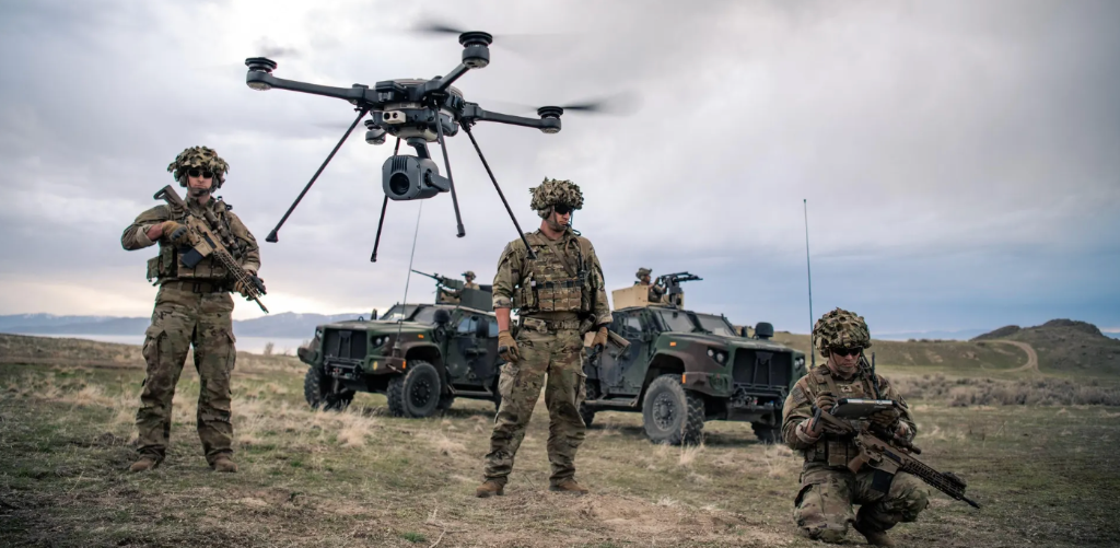
PUBLIC SAFETY
Real-time mission planning and force protection.
- Mission Planning & Recon
- Force Protection Security
- Counter-UAS Operations
- Rapid Emergency Response
- Edge Processing (C11)
Denied-Environment Operations
Where others can't operate.
Rapid Mapping
Subterranean & Indoor ISR
Autonomous mapping and navigation in tunnels, bunkers, and buildings where GPS and communications fail.
Situational Awareness
Post-Strike & Disaster Assessment
Rapid 3D situational awareness of damaged structures and infrastructure in denied environments.
Tactical Readiness
Aircraft, Vessel & Infrastructure Inspection
Rapid and repeatable autonomous inspection of large structures in GPS-denied or degraded environments.
Personnel Safety
EOD, UXO & Hazard Recon
Stand-off mapping of explosive, chemical, and unknown hazards before personnel enter.
Details available under NDA · Contact for mission consultation