The Geospatial
Stack For TheField Tech.Engineer.
Tools to capture and compute complex geospatial data sets — drone, robotic, IoT, and space sensing at mission scale.
Geospatial intel for all operations
01Visualize your GIS & remote sensing data from satellite to drone to smartphone in one unified platform.
Learn more
Specialized systems for sensitive data management, ISR exploitation, and C4ISR integration.
Learn more
Unified engagement hub for teams and stakeholders. Foster collaboration, track interactions, communicate across roles, and keep everyone synchronized in one integrated workspace.
Learn more
Subscribe to advanced support. Ctrl helps your team develop or extend a GIS & remote sensing program.
Learn more
Order the best imagery on earth. AirBase is Ctrl's network of autonomous drone docks operating 24/7.
Learn more




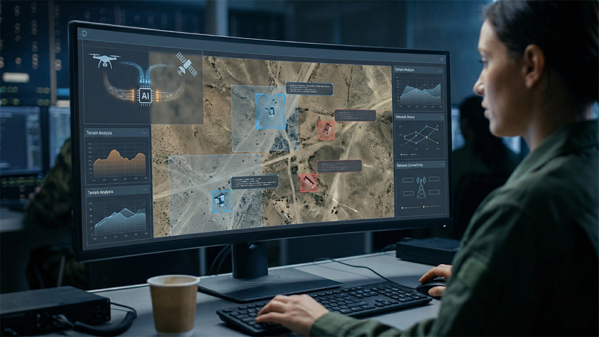
Ctrl owns the loop up to the moment of action.
Observe
Automated drone tasking, sensor capture, and open-source feeds — persistent collection across your sites.
Orient
AI processing turns raw capture into maps, 3D models, inspections, and detections — fused with GIS context.
Decide
Decision-ready intelligence surfaced to operators — findings, alerts, and reports routed to the right desk.
Act
Ctrl serves the action loop with derived imaging products — feeding the enterprise and mission systems your organization already runs on.
Our products and services enable drone and geospatial data users to create cutting-edge imaging outputs — alongside traditional GIS/CAD layers and broader spatial intelligence.
Once an image product is ready — sometimes in seconds — users can draw inferences from their data and act: dispatching insights directly to an energy command centre, government GIS office, or any downstream system.
Mission Partners
Ctrl











Platform Capabilities
Geospatial Intelligence StackThe geospatial stack for the operator.
Multi-Domain Sensing
Drone, satellite, LiDAR, and ground sensors into one operational picture.
Fused GIS Intelligence
Raster, vector, and point cloud on one canvas. Export to ESRI, KML, TAK.
Persistent Overwatch
FMV exploitation with frame-accurate annotation and AOI target referencing.
AI-Driven Workflows
Object detection, change analysis, and 3DGS — raw sensor to product.
Operate OS
Missions, assets, maintenance, tailboards, and AirBase dispatch.
Modular C2 Interface
Role-based AOI, planning, and briefing tools — classified or open.
Mission-Grade Data Custody
SHA-256 hashing, classification banners, and full custody audit trail.
Open Architecture
APIs, webhooks, and connectors to FlightHub, Skydio, Palantir, Azure.
Operational Reporting
Mission summaries, compliance dashboards, and per-asset ROI to PDF.
Built for Critical Operations
SectorsMaximize uptime. Detect threats to grid resilience instantly with autonomous aerial oversight.
Sovereign security. Uncompromising situational awareness for borders, public safety, and national assets.
Dominance in any domain. Force multiplication through advanced autonomous systems and real-time intel.
Rapid response where it counts. Deliver aid and assess disaster zones when every second matters.
Fortify the backbone. Relentless monitoring of bridges, dams, and comms networks against failure.
Survey pits, stockpiles, and tailings with precision. Volumetric intelligence and safety oversight at scale.
Ground-truth every design. Centimeter-accurate site data feeding models, simulations, and decisions.
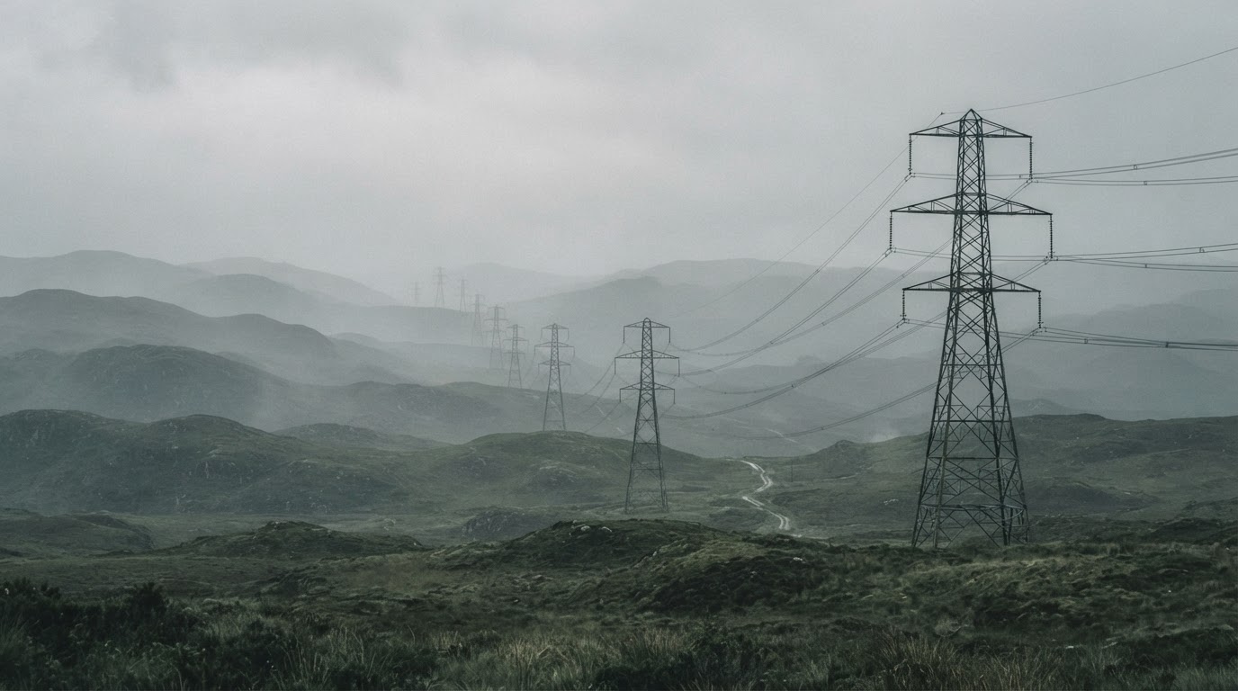
Inspect towers and networks without climbers. Rapid fault detection across sprawling comms assets.
Obstacle surveys, runway and pavement inspections, airframe checks.
Track progress against plan. Continuous site capture, earthworks measurement, and safety monitoring.
Corridor-scale surveillance. Monitor track, right-of-way, and structures for defects and intrusions.
Canopy to ground intelligence. Inventory, health, and fire-risk assessment across vast terrain.
Keep networks moving. Aerial oversight of highways, ports, parking lots, and logistics hubs in real time.
Optimize the flow of goods. Yard, warehouse, and last-mile visibility across the supply chain.
Get in Touch.
Questions about our technology or interested in a partnership? We'd like to hear from you.